Software as a Solution
Contact UsGeolytics Agro
Geolytics.Agro is for crop monitoring system for farmers, traders, and insurers to monitor real-time crop health & growth.
Know MoreForest Monitoring
Geolytics.Forest is for forest change location, size, timing and drivers of forest change which are consistent over time.
Know More
Sugarcane Monitoring
It's a decision support tool for mapping and monitoring sugarcane production and supply chain, helping farmers
Know MoreFarmer Producer Organization
It's is WebGIS platform for managing and monitoring FPOs, allowing live monitoring of field staff and generating reports of traveled distance .
Know MoreTelecom Network Planning & Management
It's for network analysis, coverage prediction, 3D analysis on map. It's also integrated with android based mobile app; which can help in Field Data collection Updating and Maintenance.
Know MoreUrban Information System
Geolytics. Urban is for land based planning for Amrut, Smart Cities and easy to integrate GIS module with existing applications.
Know MoreEmployee Monitoring System
Geolytics. Tracker is real time location monitoring on map, tracking the movement where network connection is very poor or no internet.
Know MoreMining Surveillance System(MSS)
It's a WebGIS-based tool for real-time monitoring of mining operations to curb supply leakage, report illegal activity, and optimize processing time and cost for increased productivity.
Know MoreSupply Chain Management
It's a decision support system for effective planning and management of materials, information, and financial flow in a network to reduce costs, improve business.
Know MoreKisan Mall
It's an online agriculture marketplace connecting suppliers, farmers, and aggregators to buy and sell agriculture-related products.
Know MoreFlood Early Warning System
It's a real-time tool for issuing flood advisories and generating flood inundation scenarios to aid disaster management authorities during flood events.
Know MoreChange Monitoring
It's a real-time detection system that provides accurate information on land use/cover changes, promoting transparency in resource management.
Know More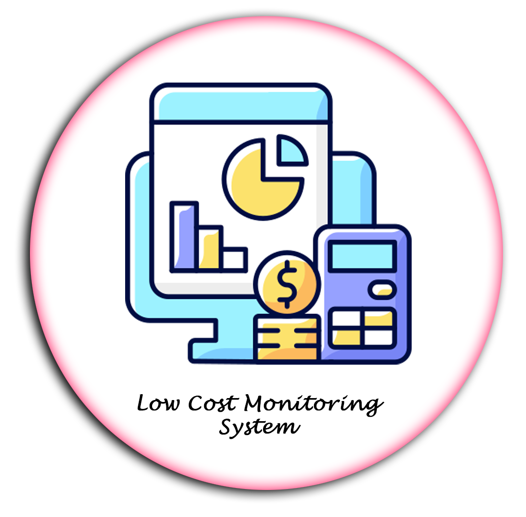
Low Cost Monitoring System
It's an efficient tool for monitoring land use practices outside forest areas, with a focus on plantation and tree survival rates, using Android mobile apps.
Know MoreConstruction Monitoring
It's a real-time platform for visualizing and quantifying progress in linear construction projects, promoting proper management and ensuring timely completion.
Know MoreGeolytics Beat Planner
Beat Planner transforms ESG theory into action by optimizing delivery routes, maximizing fleet capacity, and scaling operations using a webGIS platform.
Know More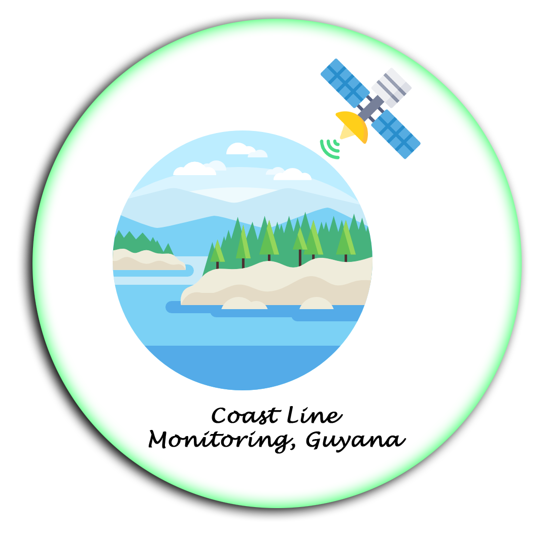
Coastalchange Monitoring
It's uses remote sensing to track coastal changes to monitor erosion, sea level rise etc. It's creates maps to inform about how to manage coastal resources.
Know MoreUniversity Management System
It's an educational institution management software for administration of educational bodies, handling complex functions such as fees, results, library and more.
Know More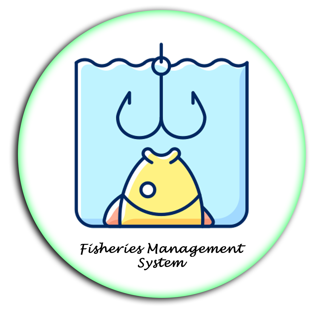
Fisheries Management System
It's a user-friendly Web-GIS platform for finding suitable fishing areas, categorizing ponds, tracking ownership/lease details and creating accurate inventory.
Know More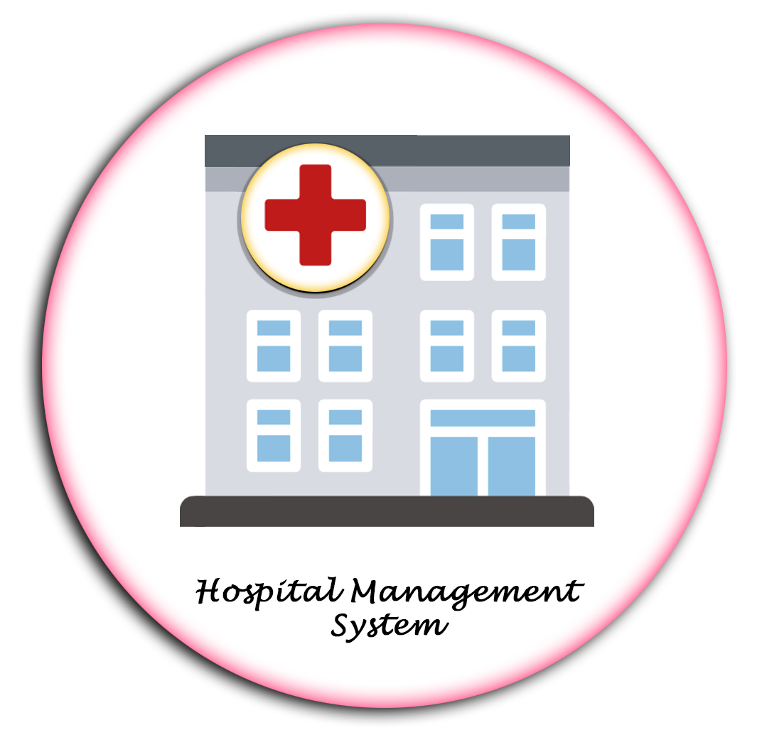
Hospital Management System
It's an integrated end-to-end system providing relevant information for patient care, hospital administration, and financial accounting for effective decision-making.
Know MoreDairy Management System
It's used to efficiently manage dairy farms from the village level to provide accurate information on various factors related to the farm.
Know MoreInventory Management System
An inventory management system is a software that tracks goods using barcodes throughout the supply chain, from purchasing to production to end sales.
Know More
Order Management System
It's use for monitoring and controlling a company's orders, sales, and deliveries using specialized software to optimize stock levels, reduce stockouts, and streamline supply chain operations.
Know MoreMalawi Excise
It's use to manage the production, sale, and distribution of excisable goods, such as alcohol and tobacco products, by tracking and regulating taxes, duties.
Know More
Smartcity Management System
It's a platform for urban planning that integrates various data sources and GIS Technology to improve the quality of life, efficiency in cities.
Know More
.png)
Raimah International Services
It's designed for an Nigeria based Organization which works for education,health & women empowerment of the society.
Know More
.png)
Safe City Solution
This app integrated software system provides quick response in emergency situations by allowing individuals to quickly send out alerts for help to designated contacts or emergency services.
Know More
Construction Management System
It's use for monitoring and controlling a company's inventory levels, orders, sales, and deliveries using specialized software to optimize stock levels, reduce stockouts, and streamline supply chain operations.
Know MoreGAS Distribution Management System
It's use to monitor, manage and optimize natural gas distribution, including inventory tracking, pipeline management, maintenance scheduling, and usage analysis. This streamlines operations, reduces costs, and improves customer service for gas distribution companies.
Know More
Hospital Asset Tracking
A hospital asset management system is used to track and manage the physical assets of a hospital. It can include items such as medical equipment, furniture, and buildings. The system can be used to help hospital staff keep track of where assets are located, when they were last used.
Know MoreSolar Management System
Solar monitoring systems help to ensure your solar panels operate at their best. They track your solar system's performance, health, and energy consumption.
Know MoreUniversity Management System (Demo)
It's an educational institution management software for administration of educational bodies, handling complex functions such as fees, results, library and more.
Know MoreTax Management System (Demo)
3D map visualizer displays geographic data in a realistic three-dimensional environment, allowing users to explore terrain, overlay data, and perform spatial analysis.
Know More3D Map
3D map visualizer displays geographic data in a realistic three-dimensional environment, allowing users to explore terrain, overlay data, and perform spatial analysis.
Know MoreTraffic Challan System
It's a digital platform designed to automate and manage the issuance and processing of traffic violation fines and penalties.
Know MoreElection Commission Management
This software solution developed to streamline and oversee various processes related to electoral activities and voter administration.
Know MoreAsset Management System
Assets Management System is a software tool that facilitates the tracking, organization, and maintenance of an organization's physical and digital assets throughout their lifecycle.
Know MoreProject Name |
App Name |
Updated On |
Version |
About App |
Download |
|---|---|---|---|---|---|
| APMIP Loan Survey | APMIP Loan Survey | 29-08-2021 | 14.2 | It's use for track the attendance of student's. | Download  |
| Attendance Management System | Attendance Management System | 02-08-2021 | 1.2.4 | It's use for track the field staff(LRP's) in FPC. | Download |
| Flood Early Warning System | FEWS | 02-08-2021 | 3.9 | It's use for track the field staff(LRP's) in FPC. | Download |
| Farmer Producer Organization | FPO | 02-08-2021 | 1.6.1 | It's use for track the field staff(LRP's) in FPC. | Download |
| Kisan Mall | KisanMitr | 02-08-2021 | It's use for track the field staff(LRP's) in FPC. | Download |
|
| Krishak Online | Krishak Online | 26-09-2021 | 1.2.1 | It's use for track the field staff(LRP's) in FPC. | Download |
| MeriSehat | MeriSehat | 26-09-2021 | 3.3.8 | It's use for track the field staff(LRP's) in FPC. | Download |
| Mywell | Mywell | 26-09-2021 | It's use for track the field staff(LRP's) in FPC. | Download |
|
| Afroom | PaulRider | 26-09-2021 | It's use for track the field staff(LRP's) in FPC. | Download |
|
| Traffic Challan System | PoliceChallan | 26-09-2021 | 1.0.3 | It's use for track the field staff(LRP's) in FPC. | Download |
| PoolSurvey | PoolSurvey | 26-09-2021 | 1.3 | It's use for track the field staff(LRP's) in FPC. | Download |
| Safe City Solution | Soskinshasapolice | 26-09-2021 | 5.2 | It's use for track the field staff(LRP's) in FPC. | Download |
| Safe City Solution | Soskinshasauser | 26-09-2021 | 4.1 | It's use for track the field staff(LRP's) in FPC. | Download |
| Tax Management System | SudUbangiTaxmanagementsystem | 26-09-2021 | 1.3.9 | It's use for track the field staff(LRP's) in FPC. | Download |
| GAS Distribution Management System | Telecomstaff | 26-09-2021 | 1.1 | It's use for track the field staff(LRP's) in FPC. | Download |
| GAS Distribution Management System | Telecomuser | 26-09-2021 | 1.2 | It's use for track the field staff(LRP's) in FPC. | Download |